Fundamentally speaking, everything that happens in the atmosphere is a function of three basic factors: temperature, pressure, and moisture. This concept also applies to an air mass, which is a large body of air that generally has the same temperature and moisture characteristics throughout.
Together, these characteristics—warm or cold, dry or moist—determine the kind of weather the air mass will produce and govern its interactions with other air masses.
Geography’s Influence
To help you anticipate weather conditions, keep in mind that the geographical origin of an air mass determines its basic temperature and moisture characteristics.
Continental Polar—Air masses that move south from Canada are usually very dry and cold.
Maritime Polar—Air masses that move south from the oceans bring moist, cold air.
Continental Tropical—Air masses that move north from Mexico are usually dry and hot.
Maritime Tropical—Air masses that move north from southern oceans bring moist, warm air.
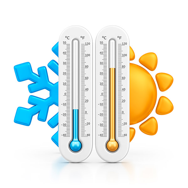
Rule of Thumb Temperature Conversion
Mass in Motion
As they move, air masses take on the temperature and moisture characteristics of the surface beneath them. A dry air mass traveling over the Great Lakes can pick up enough moisture to produce large amounts of “lake effect” snow. Conversely, moist air off the Pacific Ocean tends to dry out as it passes over the inland deserts.
TIP: Get to know the specific areas you intend to visit. Talk to local pilots, most will gladly share their knowledge.
Temperature
Three factors determine an air mass temperature:
- Geographical origin
- Season
- Time of day
Dewpoint
This is the temperature to which the air would have to be cooled at constant pressure and constant water vapor content to become completely saturated. So, pay attention if a METAR reports temperature and dewpoint within a few degrees of each other: instrument meteorological conditions like low ceilings and visibilities can thwart your flying plans.
Temperature and dewpoint determine an air mass’s stability.”
VFR into IMC: Temperature and Dewpoint
See what happens when temperature and dewpoint converge.
Relative Humidity
The amount of moisture in the air compared with the amount of moisture at the current temperature is reported as the relative humidity percentage. Higher relative humidity often means lower visibility and more cloud coverage.
Fog can form quickly after sundown or at sunrise when the temperature-dewpoint spread decreases as the temperature drops at night and very early in the morning.
Stability
Temperature and dewpoint determine an air mass’s stability. Stable air resists vertical motion and tends to bring benign (though not necessarily good) weather, while unstable air can bring turbulence and severe weather.
Stable Air vs Unstable Air
| Stable Air | Unstable Air | |
|---|---|---|
| Clouds | Layered clouds or fog | Puffy, with extensive vertical development |
| Precipitation | Small drops in fog and low-level clouds; large drops in thick, stratified clouds; widespread rain or snow | Large drops in heavy rain showers; showers usually brief; hail possible |
| Icing | Rime, freezing rain, or clear ice | Moderate to heavy clear ice |
| Visibility | Restricted for long periods | Good, outside areas of precipitation |
| Other | Frost; dew; temperature inversions; little or no turbulence | High and/or gusty winds; potential for turbulence; lightning |