Weather in Motion
Short-range forecast charts show systems and the weather they cause

The best way for students to obtain a preflight weather briefing is to call the FAA’s weather briefing and flight planning service at 1-800-WX-BRIEF to talk with a trained briefer who can answer your questions. Although briefings are available online through FAA DUATS providers Leidos and CSRA, and other websites, you should wait until you are experienced at making weather-related decisions before relying on online briefings. You can still take advantage of the helpful graphics available online, however. Before calling, it’s good idea to look at a forecast map showing the time and place of your flight. Having the map in front of you will help you understand what the briefer is saying.
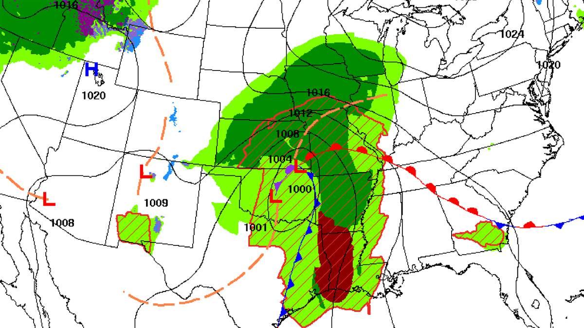
A great National Weather Service resource is the National Digital Forecast Database (NDFD) short-range forecasts on the Weather Prediction Center website. The surface weather maps you are used to seeing show areas of high and low atmospheric pressure but usually nothing about how these affect the weather. This map (above) shows both weather systems—such as storms, fronts, and more—and the weather these systems are creating as they move across the country.
This is especially useful for fight planning because it shows you how the weather is forecast to change over roughly two and a half days. Hover over a tab at the top of the map, and you’ll see the predicted weather at given times. You can even put it on a loop and watch weather systems and the resulting rain, snow, or other precipitation move across the country.
Find these and other national forecast maps from the National Weather Service online.


