
WHAT HAPPENED
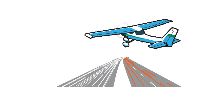
“As I flew past the entrance to the tunnel, my only navigation aid simply disappeared.”
What we learned
In the dark
Night flying is a lot like IFR.
The decreased visual references at night require different navigation techniques and more reliance on instruments. The Private Pilot Airman Certification Standards call for an applicant to demonstrate understanding of “night orientation, navigation, and chart reading techniques.”
The European Aviation Safety Agency has a separate night rating that allows pilots to fly night VFR.
By Ed Bryce
It was a cloudless September day. My brother had just moved home to Seattle from Libby, Montana, and we were going to fly back to pick up his Beechcraft Bonanza. I was 18 and this was the longest cross-country I’d ever flown. With 115 hours in my logbook, I knew it was going to be a piece of cake.
The Cessna 172 we’d reserved was down for maintenance, so we took a Cessna 150. We picked up a stronger-than-expected tailwind across the Cascades, stopped in Spokane for fuel, and arrived at Libby just after noon. My brother would return nonstop in the Bonanza and I would follow in the 150, stopping in Spokane for fuel.
I climbed to 10,500 feet to cross the Cascades, following highway U.S. 2 over Stevens Pass. Approaching Wenatchee, Washington, I started to get concerned. The flight back was taking significantly longer then I’d planned. One fuel gauge was reading half, the other slightly lower, and the sun was getting close to the horizon. If I stopped in Wenatchee, I would either cross the mountains in the dark or end up spending the night there. It was only 90 more miles, so I decided to press on.
Highway 2 was well lit by traffic, and I was on the downhill stretch. The sun shone through a thick layer of smoke and haze from forest fires. Then the sun set.
Unknown to me at the time, Highway 2 goes through an eight-mile-long tunnel, which shifts the road four miles to the south. The road is bordered by tall trees, so it’s invisible from the air unless you’re directly above it. Additionally, the VOR at Everett, just south of Arlington, was off the air for maintenance. As I flew past the entrance to the tunnel, my only navigation aid simply disappeared.
Triangulating between distant VORs, I determined I was over a lake; looking straight down, I saw a mountain peak. Nothing was visible through the haze to the sides, and there were no ground lights anywhere. Time for the four Cs: climb, communicate, confess, and comply. There was no need to climb, and Flight Service reassured me I was on course: “Arlington is at your 12 o’clock and 15 miles.” It was time to start down, even though I had no landmarks for guidance. One gas gauge was showing a quarter tank, and the other was bouncing on empty.
Descending, I realized: I’m flying east to west, Interstate 5 runs north-south alongside the airport. Once I spot the freeway, I’ll be able to find the airport. After one false start from an amazingly busy country road, I spotted I-5. Descending over it, I could read the exit signs and knew I just had to go north a bit. I spotted the runway lights and landed. While fueling the airplane, I pumped more gas than the airplane was supposed to be able to carry.
I had completely failed to consider what switching from a 172 to a 150 would do to my navigation planning; get-home-itis was alive and well over Wenatchee; and if I even suspected that I needed fuel, I should have stopped. I also needed to plan my route more carefully: A perfectly good route in the daytime is very different than a good route at night, especially when the road you’re following becomes a tunnel. Finally, when I look down at the freeway now, I have to wonder, Just how low was I that I could read the exit signs?
Related Articles

