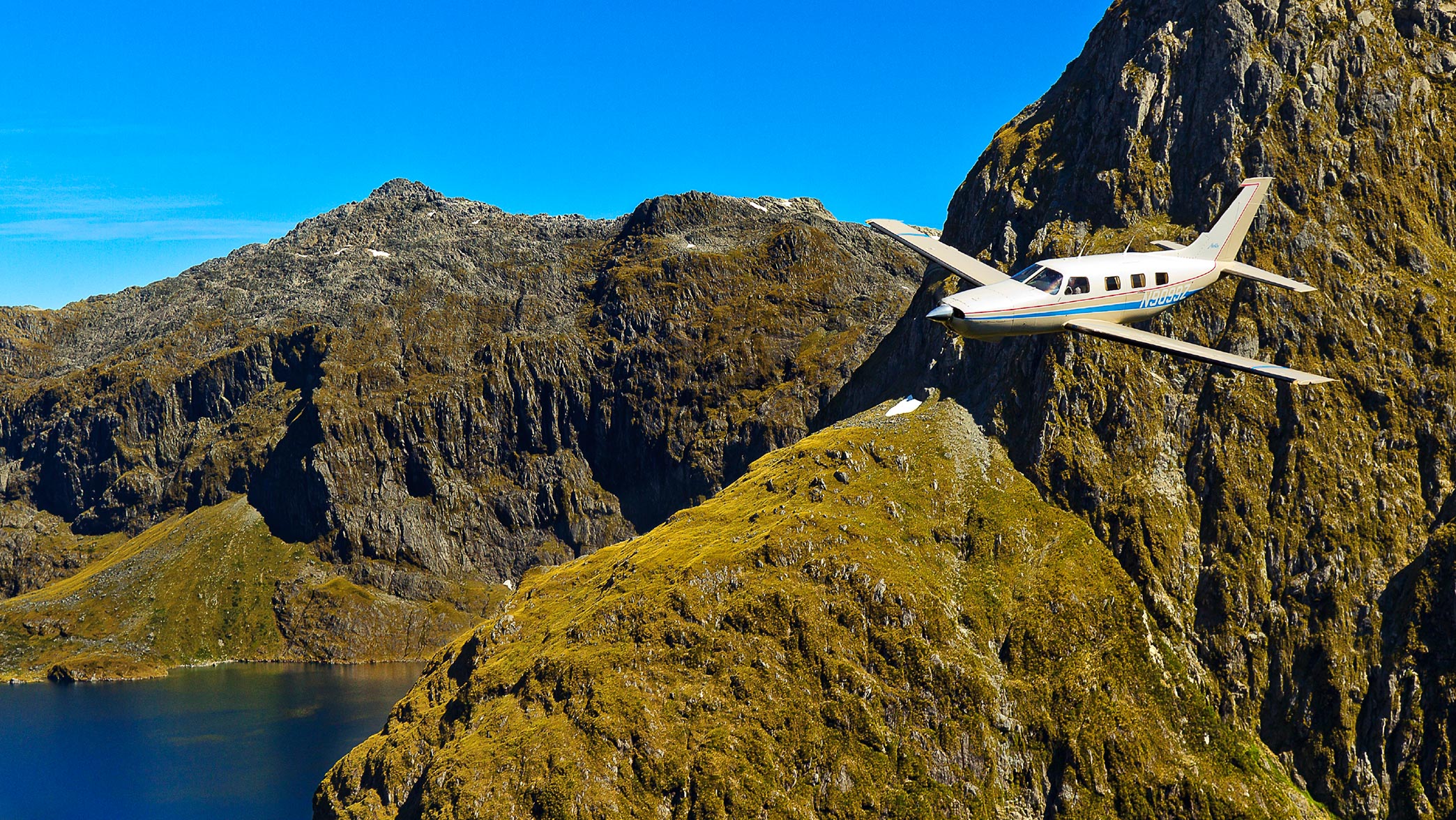
Avoiding Obstacles on the Ground
Safety Spotlight: Collision Avoidance
Obstacle altitude information is charted on VFR and IFR aeronautical charts—so use it! This is especially critical when you plan to fly at night or in low visibility.
VFR Charts
The Maximum Elevation Figure (MEF) on VFR sectional charts represents the highest elevation within a quadrant area, including terrain, towers, trees, and other vertical obstacles. The MEF is determined by rounding the highest elevation or obstruction height within the latitude and longitude quadrangles to the next 100-foot level. These altitudes are then adjusted upward between 100 to 300 feet. In this example the MEF is 9,700 feet mean sea level (msl). The highest peak within this quadrangle is 9,396 feet msl. Beware, in some cases the MEF can provide as little as 101 feet of obstacle clearance.

IFR Charts
IFR low altitude en route charts offer a few more altitudes than VFR charts. Within the quadrangles of latitude and longitude shown in this example, the Off Route Obstruction Clearance Altitude (OROCA) is 3,500 feet. This altitude guarantees a 1,000-foot obstacle clearance in non-mountainous terrain and a 2,000-foot obstacle clearance in designated mountainous areas.
The Minimum Enroute Altitude (MEA) is 6,000 feet. This altitude meets obstacle clearance requirements and provides acceptable ground based navigation signal coverage. The Minimum Obstruction Clearance Altitude (MOCA) is 3,000 feet. On government charts this altitude is shown with an *. MOCA is the lowest altitude between two fixes that meets obstacle clearance requirements. This altitude only ensures an acceptable ground based navigation signal within 22 nautical miles of a VOR. Satellite-based navigation systems, like GPS, will still receive navigation signals at these altitudes.

Flight Planning
When preparing for a flight, be sure your planned cruise altitude is above the MEF or OROCA. If you have to descend during a flight due to weather, use these altitudes as your de facto minimum cruise altitude. Remember that the MEF and OROCA are listed in msl and ceilings are in agl. Ensure that your planned altitude will not only keep you clear of obstacles, but also keep you clear of the clouds.
Look Out! Avoiding Terrain & Obstructions
Getting caught in a tight situation is easier than you think. This video aims to help you recognize and avoid potentially dangerous situations.