Virginia first in nation with full ADS-B coverage
Civil Air Patrol, uAvionix create low-altitude receiver network
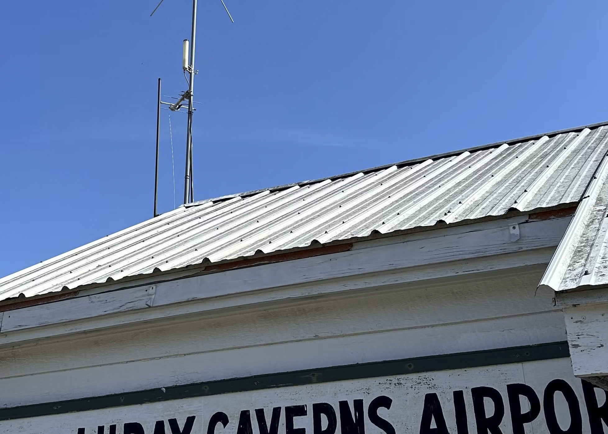
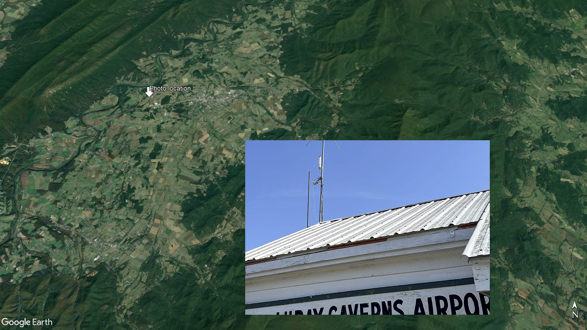
A network of ADS-B ground stations installed at Virginia airports now allows the Civil Air Patrol to gather aircraft position data down to 500 feet above ground level anywhere in the state, enabling CAP rescue teams to locate downed aircraft in minutes.

CAP worked with uAvionix, makers of a diverse range of ADS-B products for general aviation aircraft (crewed and otherwise) including the FlightStation ADS-B receivers that create a dual-band, DO-260B compliant network that is separate from the FAA sensor network. Data from the CAP network is fed to the CAP National Radar Analysis Team supporting search-and-rescue missions around the country.
CAP Lt. Col. Mark Young, the NRAT team commander, said his team has been working for several years to test small ADS-B receivers, and determine locations where they can close gaps in FAA coverage.
“The availability of these new receivers, built to RTCA aviation certification standards, and its subsequent real-time data from FlightLine data available to Civil Air Patrol, is a significant advancement for our team,” Young said. “Real-time data at lower altitudes significantly improves the team's ability to provide a fast and accurate location of missing aircraft that can be used to support CAP’s emergency services search and rescue mission and will result in lives saved.”
Young is eager to have other CAP wings and squadrons replicate the effort in their states. Local CAP leaders can learn more and apply to participate in the program online.
“uAvionix is proud to work together with CAP to improve low altitude data availability for this important public service”, said uAvionix Managing Director Christian Ramsey.
Search-and-rescue technology has come a long way since emergency locator transmitters were state-of-the-art in the 1950s. AOPA demonstrated ADS-B to CAP in 2003, part of AOPA’s larger effort to raise awareness in the aviation community about the many safety benefits of the then-new technology, including weather, terrain, and traffic awareness. Today, CAP has many tools with which to locate missing aircraft, including location data received by cellular networks, radar, and ADS-B. NRAT’s volunteer analysts process FAA radar information (which factored in remarkable wilderness rescues that AOPA reported on in 2017), as well as ADS-B data that was the key to locating a Cessna P210N that was forced to ditch near the Bahamas in December 2019.


