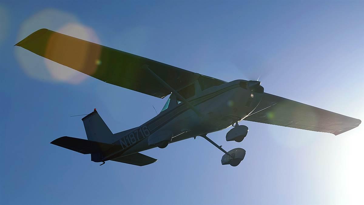
Little airplane, big trip
Planning pays off on a long cross-country
It was a hot summer day in Blythe, California (BLH), where I stopped for fuel en route to Oshkosh, Wisconsin, for EAA AirVenture.

It was a hot summer day in Blythe, California (BLH), where I stopped for fuel en route to Oshkosh, Wisconsin, for EAA AirVenture. This was my first stop since leaving Long Beach (LGB), where I keep my Cessna 150, on a journey that would cover about 1,700 nautical miles over three days. When I called Leidos at 1-800-WXBRIEF for a weather update, the briefer told me there was now a convective sigmet for southern Arizona.
Convective sigmets (significant meteorological information) mean severe thunderstorms are forecast, along with possible surface winds greater than 50 knots, hail, and more. Thunderstorms and airplanes don’t mix. I considered my options: If I take the southern route, there is a good chance of thunderstorms. If I go north, the terrain is higher but no convective sigmets are forecast. And the temperatures would also be cooler to the north, which would help offset the higher elevations and reduce the density altitude at those airports. To avoid the forecast thunderstorms, I headed north and east instead.
I started planning for the trip early in the year. Although I have been flying for decades, I had never attempted a trip like this: flying two-thirds of the way across the country in a two-seat primary trainer with analog gauges, and a single nav/com—during the summer thunderstorm season. Was I crazy? But I also had my iPad and the ForeFlight Mobile app with a Garmin GDL 52 SiriusXM weather receiver for real-time weather information. I would only do this if the weather was good. I put my Cessna 150 hat on to plan for this, as I told people when asked. Among my considerations were the weather, the route of flight, the 150’s limited speed and range, as well as takeoff and climb performance (because of density altitude) with its 100-horsepower (at sea level) engine.
I was not sure what route to take—north or—east, from Southern California. So, I posted my question in the SoCal Aviators group on Facebook. Several suggested the southern route, along northern Arizona and New Mexico, following I-40 and higher terrain, or else following the I-10 farther south, with lower terrain.
A few people asked me later if I had considered flying over the Rocky Mountains. No way. A stock Cessna 150 has limited climb performance, anyway. But we are talking about July and hot weather. Did you know a normally aspirated piston engine loses about 3 percent horsepower per 1,000 feet of altitude? So, my 150 only has about 75 horsepower at Flagstaff, Arizona. In the less dense air at higher elevation airports, pilots need to lean for best power.
This means after running up to 1,700 rpm (or per your pilot’s operating handbook), you then carefully pull the mixture out until it starts running rough, and then advance it slightly so the roughness disappears. This is your best power for that altitude. Incidentally, this is all explained in the late Sparky Imeson’s excellent book, The Mountain Flying Bible.
How did I prepare for high density altitude situations? I studied the 1970 Cessna 150 POH and the performance charts. Then I added at least 20 percent to the numbers. That gave me something to go on for a high-altitude airport like Flagstaff Pulliam Airport (FLG), elevation 7,015 feet msl, the highest elevation airport I landed at. On a hot summer day, the density altitude could easily be over 9,000 feet. Should I avoid Flagstaff and land elsewhere?
To see what it would be like to fly out of a high elevation airport like FLG, I decided to fly to Big Bear City Airport (L35), elevation 6,752 feet, in Southern California, about 70 nautical miles east-northeast of Long Beach. I picked a good VFR day in June and flew to Big Bear, landed, and then taxied back and took off again. The takeoff ground roll there was only about 2,000 feet and the density altitude was 8,700 feet! My initial rate of climb was only about 200 fpm, but this is close to what the owner’s manual shows for my 150. This showed me that I would be able to take off from Flagstaff.
Having the iPad and a flight planning app like ForeFlight makes flight planning much easier. Because my 150 only holds 22.5 usable gallons, and burns about 6 gallons per hour, I planned very conservatively, with a fuel stop about every two hours or about 200 nautical miles. This would still give me healthy reserves and meet the fuel requirement of FAR 91.151.
I used ForeFlight, airnav.com, and 1800wxbrief.com in my planning, and I also purchased paper charts as a backup. I checked various airports for fuel prices and possible fuel stops and watched the weather, looking for trends. I tried to avoid stopping at small, unattended airports. I even called a few smaller airports to check on fuel availability.
I over-prepared, hoping to avoid big surprises, and planned and packed accordingly. I carried a case of oil with me (6 quarts), because the Continental O-200 engine burns oil—about a quart every 5 hours on this trip. I planned my fuel stops in advance, as well as where I hoped to stop for the night. That all worked out as planned. And the airplane performed well.
It took only three days and 12 legs to get to Juneau/Dodge County, Wisconsin (UNU), where I stopped to participate in the Cessnas2Oshkosh mass arrival that was planned for Saturday, July 24. This well-planned formation flight consisted of just over 100 Cessnas flying in 35 rows, front to back, three abreast in diamond formations, and then landing on Runways 36 Left and Right at Wittman Regional Airport in Oshkosh. What fun!


