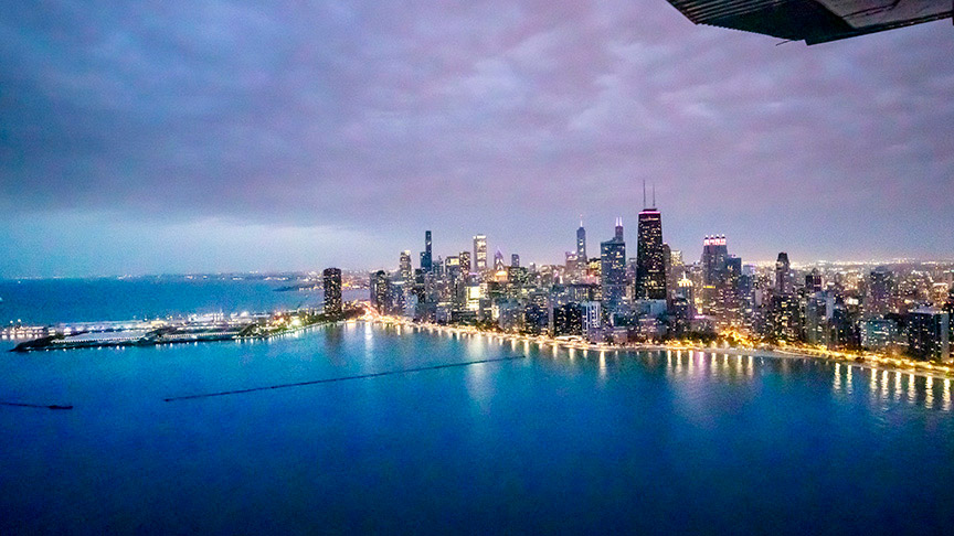
A tour of the Chicago skyline
When you visit Chicago, make sure you take a skyline tour. The view of the city from above is breathtaking, and the route relatively easy to navigate. Here’s how.

Most pilots start the tour on the north side of the city. In this video I’m aiming for a VFR checkpoint on the Chicago Terminal Area Chart called the Baha’i Temple. It’s on the edge of Lake Michigan near Northwestern University, and resembles a white acorn capping an octagonal base.
Remain below the class B airspace, and you’ll stay well clear of the O’Hare traffic. To your right are the high-rise condos on Chicago’s Gold Coast. Try to avoid becoming too engrossed by the amazing views of the city. There will be traffic along this lakeshore route—sometimes a lot. Soon the majestic city of Chicago rises vertically from the shockingly flat midwestern prairie. With a skyline comprising five of the nation’s 13 tallest buildings (the other eight are in New York City), it’s hard not to be impressed by mankind’s aspirations to reach for the sky.
At or above your altitude and dominating the skyline is the Willis Tower (formerly known as Sears Tower), still the third tallest skyscraper in America. Soldier Field, home of the Chicago Bears, sits across the harbor from Northerly Island—once home to the iconic and beloved downtown GA airport Meigs Field—and anchors the southern extent of the unforgettable views afforded on this skyline tour. Be on the lookout for stadium temporary flight restrictions. If the Bears, Cubs, or White Sox are playing, you’ll need to stay well clear.
I finish my loop around the city by taking a shortcut over the Eisenhower Expressway to return to Schaumburg Airport. It’s a memorable fight, day or night.


