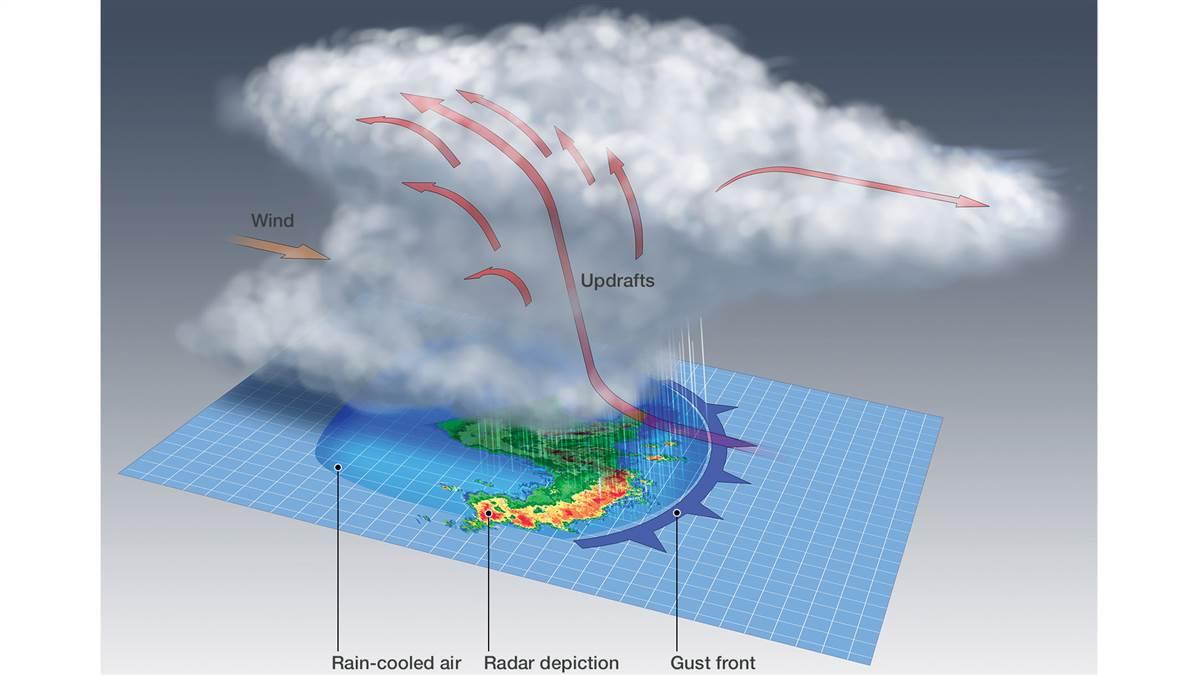
Before June 2012, most pilots—like just about everyone else—had no idea what a derecho was, much less the havoc it could wreak. Over two days in June a derecho ripped a 240-mile path from the Midwest to the mid-Atlantic coast, killing 27 people and leaving millions without power and thousands to cope with damage, including from fallen trees. The winds flipped at least one unoccupied airplane on an airport ramp, but no in-air accidents were reported.
A derecho is a squall line of thunderstorms that produces 57 mph or stronger winds along a path of at least 240 miles over a period of hours. While many weather-wise pilots may never have heard the term, it’s far from new. Gustavus Hinrichs, a physics professor at the University of Iowa, introduced it in an 1888 scientific journal article. He used the term derecho, a Spanish word that can mean “straight ahead,” for strong, straight-line thunderstorm winds as opposed to the rotating winds of tornadoes.
Almost all derechoes hit east of the Rocky Mountains with a focus on the area around where the borders of Kansas, Oklahoma, Missouri, and Arkansas meet. This area averages four derechos every three years. The main derecho “season” is from May through August, but these storms can occur just about any time of the year. During the summer derechoes are most likely in the Midwest. During the rest of the year they most often target the lower Mississippi Valley.
Some of the strongest and longest-lasting derechos, including the June 2012 event, occur on the fringes of major heat waves, the National Weather Center Storm Prediction Center says. “The relationship is more than statistical,” the center says: “It turns out that the meteorological conditions favorable for large-scale heat waves often also are conducive to derechos. In the United States, this is especially true from the upper Mississippi Valley and upper Great Lakes into the Ohio Valley and northeast.”
Often, but not always, the first sign of a derecho will be a shelf cloud (like the one in the illustration above), but don’t count on this. The possibility of a derecho—or an ordinary squall line—is another reason for obtaining a weather briefing before any flight. And don’t think the early morning forecast is the last word for the day, especially when thunderstorms are involved. You need to keep an eye on the sky as the day goes on.


