Commercial pilot and aerial photographer Chris Boyer has an “accidental career” that emerged from his first career in (take a deep breath) geomorphology—the study of how landscapes are formed—and river engineering. He had a company in Montana that restored trout streams and landscapes. At first he used an airplane to take pictures in the early 1990s with a Canon Powershot Elph point-and-shoot to show clients what was going on with their rivers. Clients loved it. He also needed straight-down shots of his projects, so he developed his own. Around 2000 the nature of the business changed, and he became more of a landscaper. He sold half his company and developed an aerial photo business. “I decided I liked flying more than I liked playing in a creek with backhoes,” he said.
Portfolio
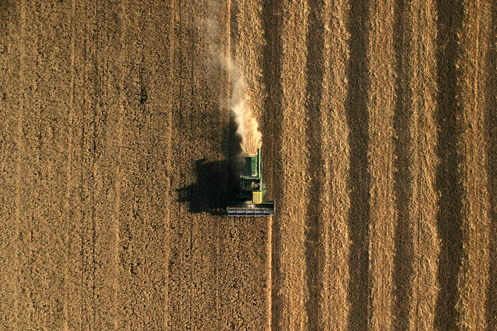
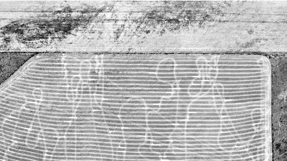
Combine harvesting grain in central Montana. "You can imagine that fellow sitting in the John Deere combine doing straight lines all day long in central Montana."
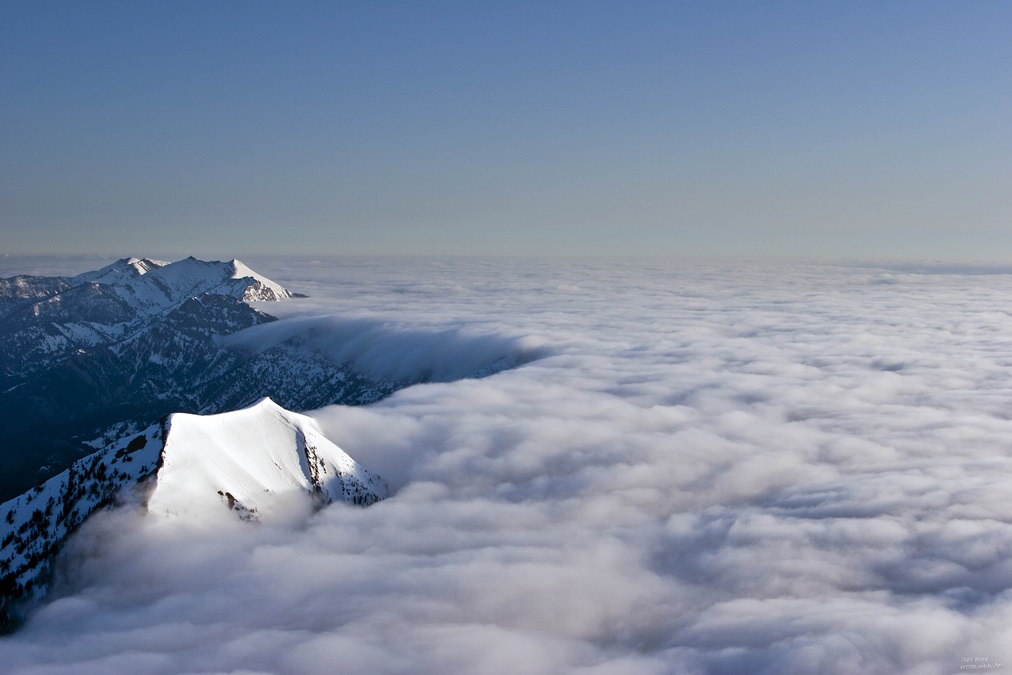
Inversion. "What we're seeing there is simply an inversion in the Shields Valley that is confined by the Bridger Mountains. It's like a fluid."
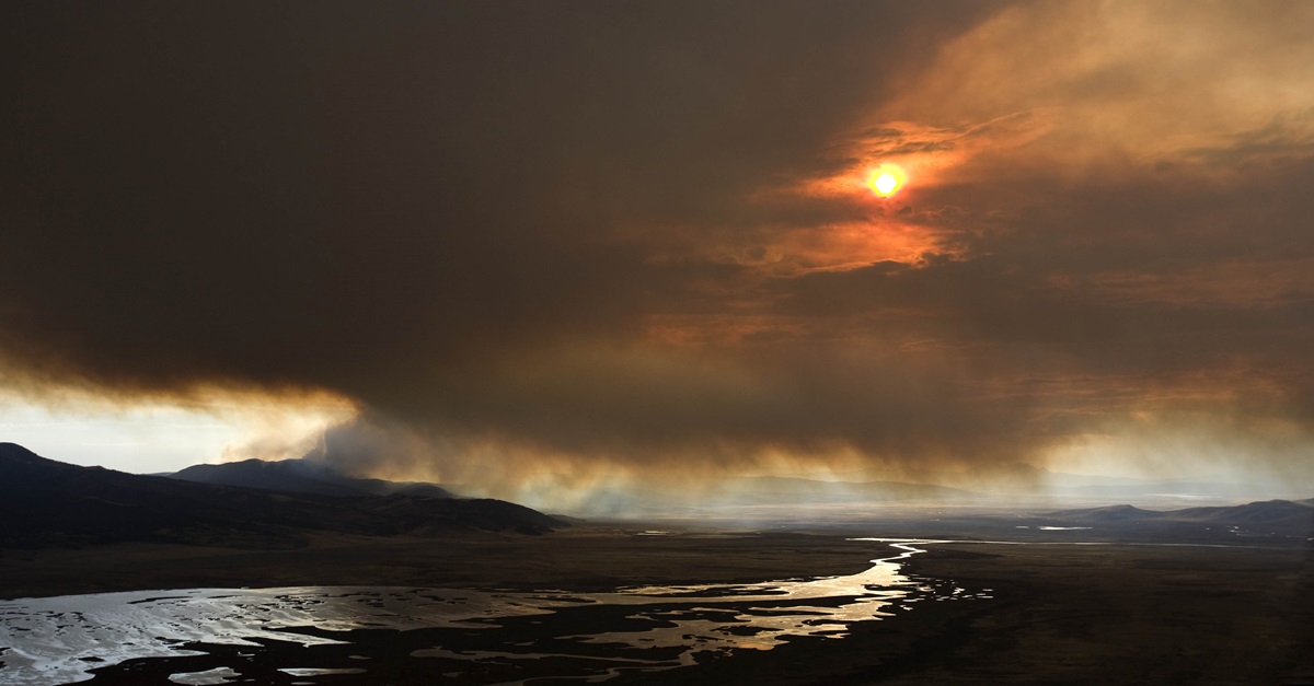
Forest fire. "That's back in the Centennial Valley, Montana, and it's a forest fire in the Centennial Mountains. "
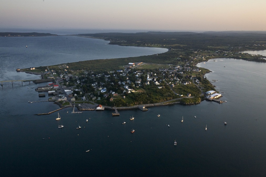
Lubec, Maine. "Lubec is a town that just sort of exemplifies this kind quaint, New England, Maine fishing town."
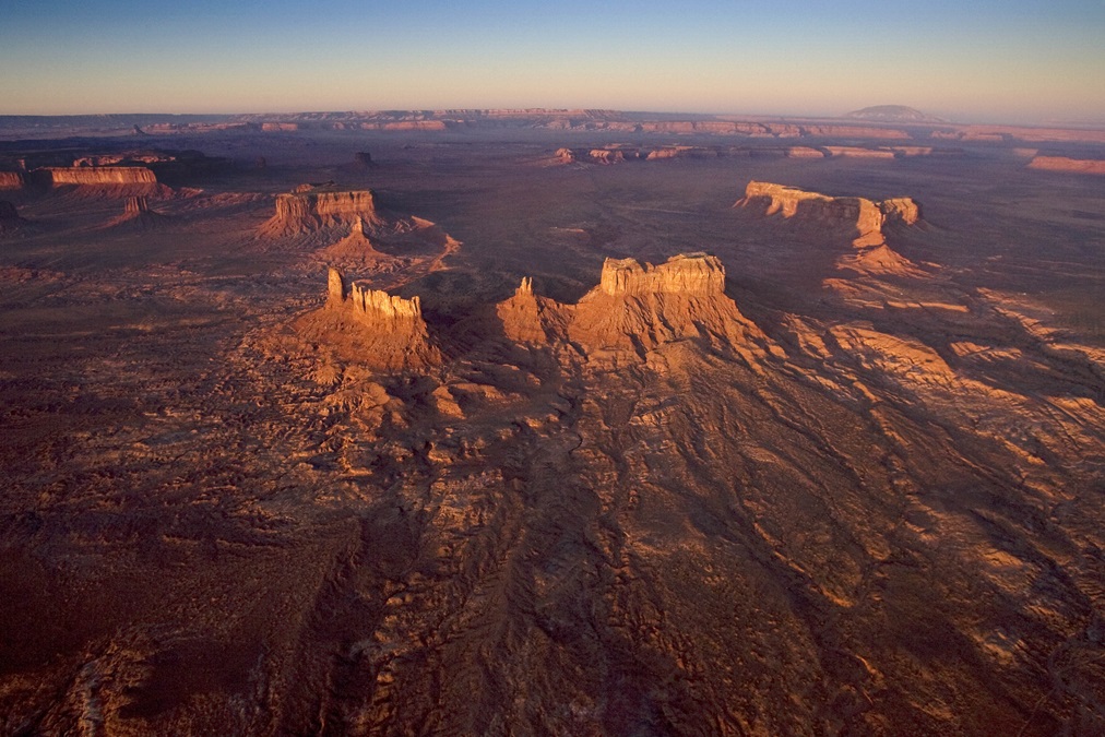
Monument Valley. "I just happened to hit Monument Valley right at sunrise. It's just a wonderfully breathtaking landscape. I often use this picture to say how an image can describe something in a second that you couldn't possibly put into words."
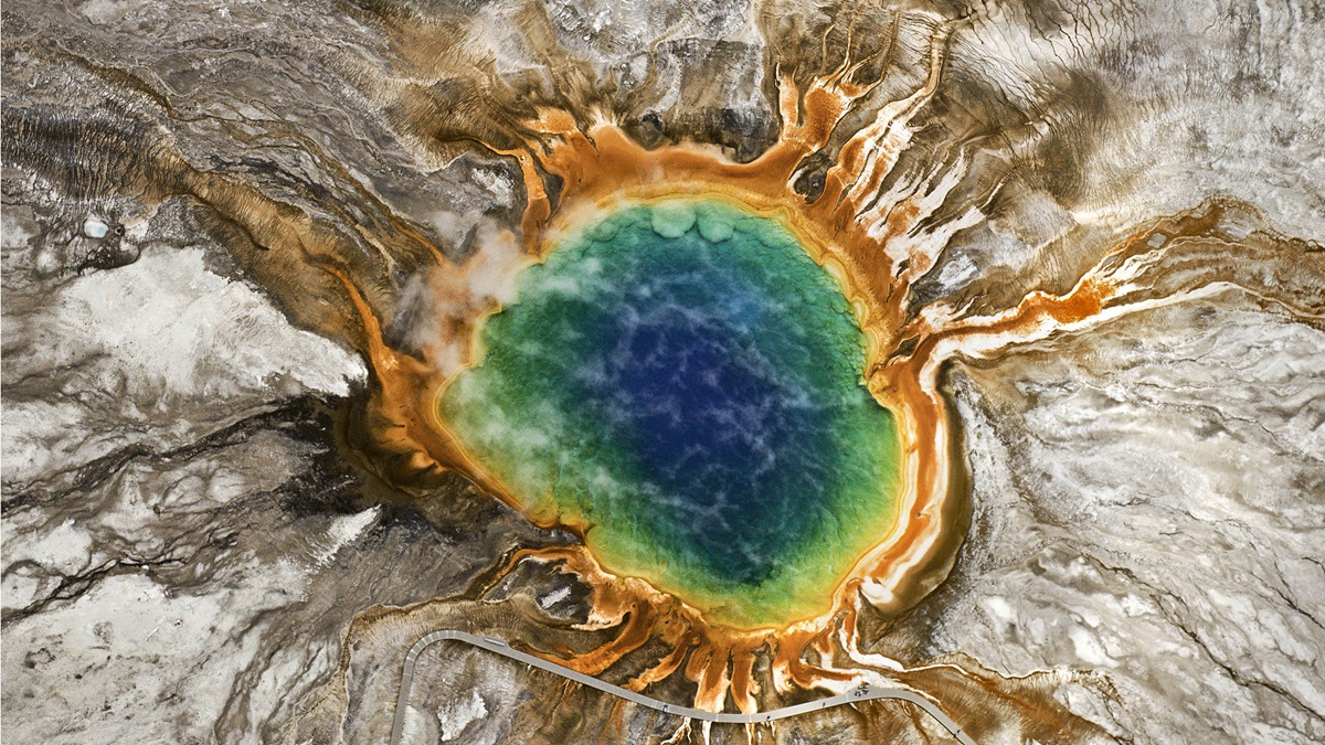
Grand Prismatic Spring, Yellowstone National Park, Wyoming. "Being color blind as I am I don't do that much adjustment to things."
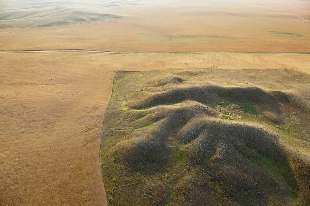
Unfarmable topography, eastern Montana. "What you're seeing on the left below the road and above the road is all grain fields. In these areas are places that are just unsuitable for cultivation. This is just one of those topographic sections that doesn't lend itself to combining or harvesting in any way."
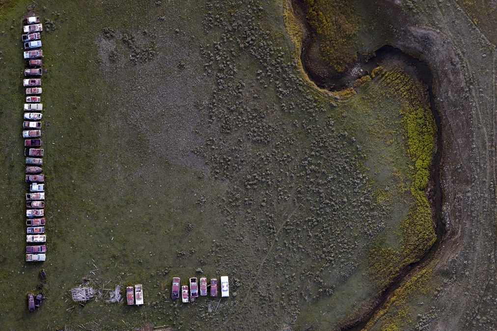
Row of junk cars, central Montana. "I was on my way back from shooting some flooding in central Montana for agencies and I always like to find the farm dumps. The two things I love about this one are the cars are heavily parted out, missing hoods and doors and windshields and things like that. But it was important to the rancher to line them up very, very carefully."
Tractor tracks from picking up hay bales near Wilsall, Montana. "This was from a precision agriculture shoot, a mapping shoot. What attracted me to this is the very regular harvest lines going back and forth of cutting the hay."
Chris Boyer
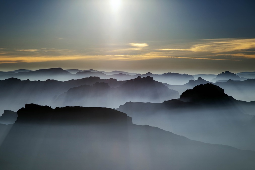
Mountains in the Absaroka-Beartooth wilderness silhouetted in forest fire smoke, on the Montana-Wyoming border.
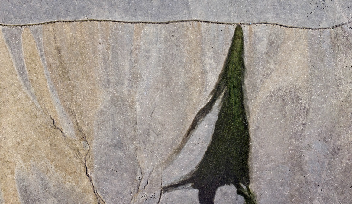
Flood irrigation pattern near Lincoln, Montana. “This is an irrigation ditch. You can see at the very top along the ditch there’s an orange and a blue square. Those are conventional tarps that they use to dam irrigation ditches to let the water flow out in various locations for the grass. You can see back to the left all the places that dam has been set to let the water out and irrigate this fairly rocky and not very productive field.”
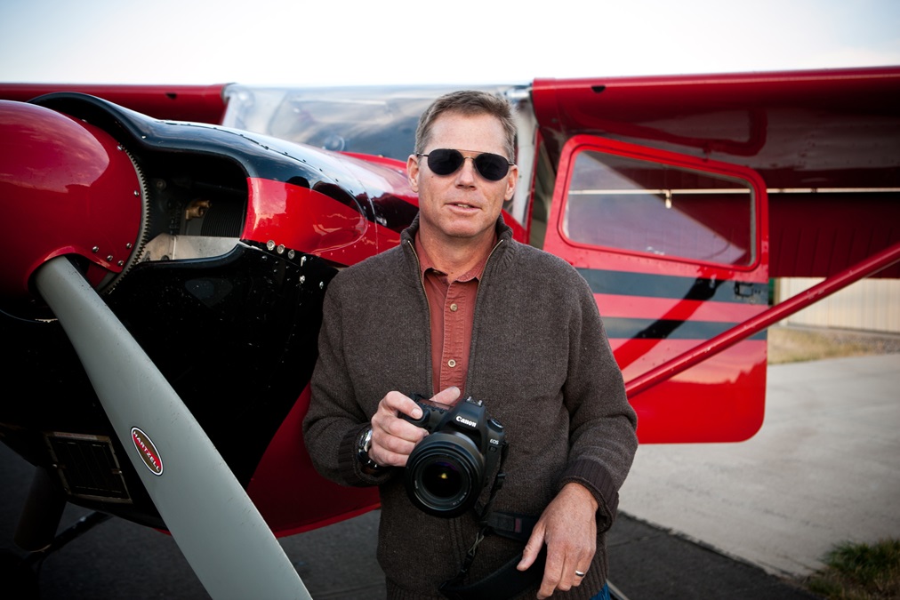
Chris Boyer’s 1957 Cessna 172 tailwheel conversion came with the bright red paint scheme. He calls it Red Plane. “I wouldn’t have painted it bright red. I didn’t want to attract attention to myself while I was learning to fly a tailwheel airplane,” he joked.
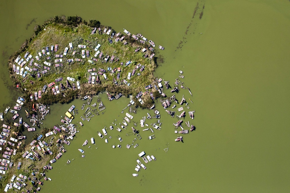
Old cars in a flooded farm field, South Dakota. “The neat thing about doing my art with a mapping camera is that I don’t know what I’ve got until I get home. I see it obliquely from a mile away. I know there’s a composition in there, I just don’t know what it is. I just aim for it and put in a wind correction angle and when it disappears under the nose I give it a second and then I start hitting the trigger.”
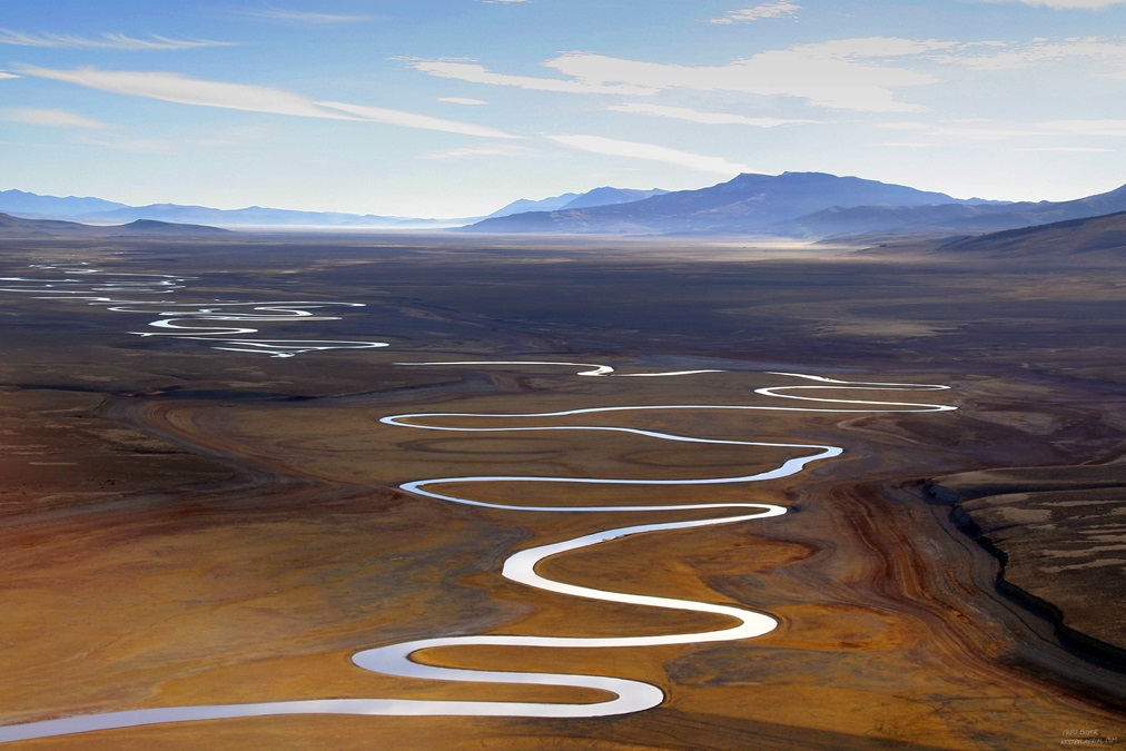
Red Rock River, Centennial Valley, southwest Montana. “The Centennial Valley is a very fine-textured soil valley, which allows the river to meander purely on the basis of physics of open channel flow, which I think is just one of the most beautiful shapes known to man—the meander.”
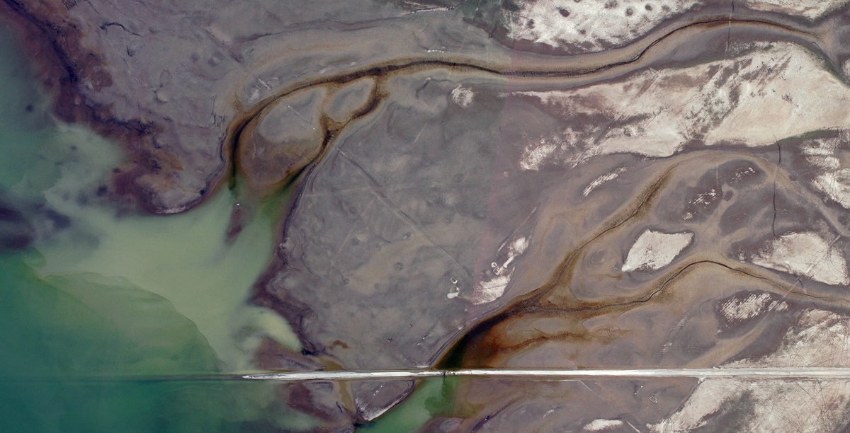
Palisades Reservoir near Alpine, Wyoming. “Being a student of river process and fluid dynamics, I am always attracted to the way water carves into the landscape. Similar to the Red Rock photo, this is a partially emptied reservoir. Those beautiful shapes are just the way, as it drains out, the water channels up and erodes into the sediments. The road, I believe, is the historic Highway 26 that was flooded to make room for the Palisades Reservoir in the ’50s.”
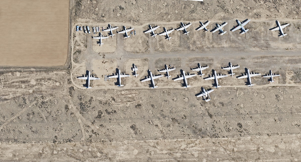
Hawkins and Powers Aviation firefighting base, Greybull, Wyoming. “Hawkins and Powers was a big firefighting outfit down there. They would buy surplus aircraft and rehab them and use them for firefighting. There’s not very many of those planes left today. It’s a ghostly experience because it’s a practically unattended airport. So you can just fly in there and just wander around the boneyard.”
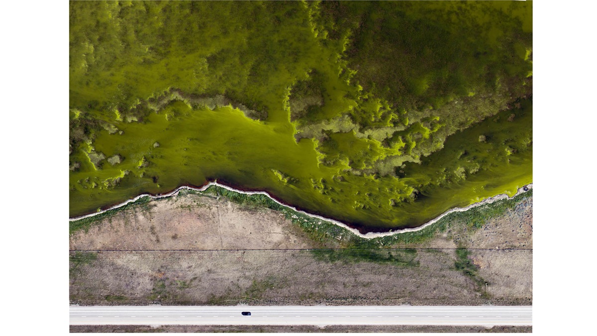
Glowing algae along Interstate 90, Gillette, Wyoming. “That is in Gillette, Wyoming. It’s just a very shallow pond on the north side of Interstate 90, so that’s the westbound lane of I-90. The sun angle and an incredibly vibrant algae bloom is what’s making those colors.”