Alaska Misadventure
Here, fortunes change as quickly as the landscape
Cameron Lawson, an Alaska native, commercial pilot, mountaineer, and photographer, has joined me on this ferry trip of a 2001 American Champion Citabria 7GCBC Explorer going to a new owner in Minnesota. I’m familiar with the Citabria, and Lawson knows this territory—having flown over, hiked, biked, and kayaked almost all of it. Despite an idyllic start, before the day is over we’ll confront low fuel, worsening weather, and other challenges typical of this region.
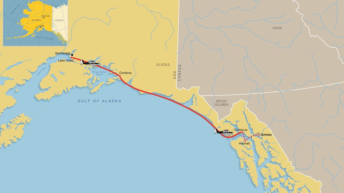
I follow the Anchorage departure controller’s clearance and guide the tube-and-fabric aircraft in a right turn to the southeast; climb to 3,500 feet; and follow the deep, glacier-carved valleys that lead to the coast. A pair of F–15 fighters scream in to land at Elmendorf Air Force Base, and gargantuan UPS and FedEx cargo jets leave Anchorage International Airport just below and behind us. But only 35 minutes after takeoff from the world’s most active seaplane base, our radio goes silent and the transponder reply light stops blinking. We’re out of Anchorage radio and radar range, and ATC won’t see or hear from us until we show up in Juneau about 500 nautical miles away.
“In Alaska, it doesn’t take long to go from some really busy airspace to being totally on your own,” Lawson says. “The solitude makes flying up here completely different than anywhere else in the United States.”
Ahead of us lies some of the most spectacular wilderness on the planet—and it’s as rugged as it is remote. The weather is sunny and mild, but it’s not going to stay that way. A low-pressure system spinning up from the south is forecast to bring clouds, rain, and low ceilings in 24 hours. The first sign of that impending weather change is a strong headwind at our chosen cruise altitude of 5,500 feet. At our current groundspeed, we won’t make it to our first planned fuel stop at Yakutat, but there are other options.
We drop down to 1,500 feet and our groundspeed improves with a light tailwind. The landscape becomes mesmerizing.
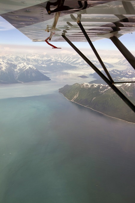
Prince William Sound is a bowl of deep blue water surrounded by snow-capped peaks on three sides, and it shows no obvious scars of the massive oil spill that did so much damage here in 1989. Two gigantic oil tankers pass in the sound: an empty one sitting tall in the water heading to the Port of Valdez, and a full one with a low waterline pointed out to the open sea. Fishing boats abound as Chinook and silver salmon gather offshore, preparing for their life-capping dashes up rushing rivers to their birthplaces.
I’m tracking our progress on the airplane’s GPS and an iPad, and Lawson is doing the same with a VFR sectional and a wristwatch. We both agree it would be wise to land short of our planned fuel stop to fill the tanks and confirm our rate of avgas consumption.
Cordova looks like our best option, but the remarks in the FAA’s Alaska Supplement get my full attention: “Steep ridge along north edge, strong east winds, runway subject to strong downdrafts,” the directory notes. “Busy residential road borders north side and parallels runway. Unattended. Runway condition not monitored, recommend visual inspection prior to landing.”
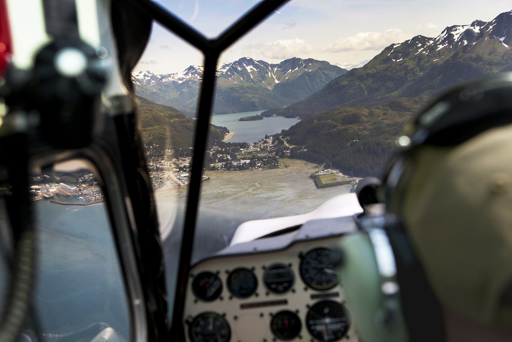
We swoop low over the seaside town of Cordova, where seagulls swarm fishing boats outside the tiny, packed harbor. Then we touch down on the 1,800-foot gravel strip where happily, a fresh sea breeze is aligned with the runway. The avgas top-off confirms our 160-horsepower engine burns slightly less than eight gallons an hour at cruise, just as anticipated, and oil consumption is almost nil.
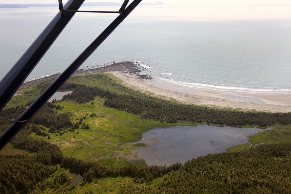
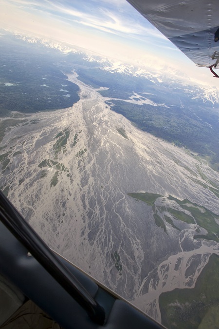
We continue southeast over the Copper River Delta, scene of one of the world’s largest annual sockeye salmon runs. Bear tracks are visible on the muddy ground, a sign the coastal brown bears that feast on the fish are ready for them to make their yearly arrival. It’s too early in the season for the red-colored salmon to begin their charge up the opaque river, however, and we see just two thin and presumably hungry bears walking listlessly near the broad and deserted beach.
Beyond the delta, massive peaks—some of them covered by glaciers—rise to vertigo-inducing heights. We pass by the Bering Glacier, rising to 7,000 feet just a few miles inland, and then the Yahtse and Guyot glaciers are even taller.
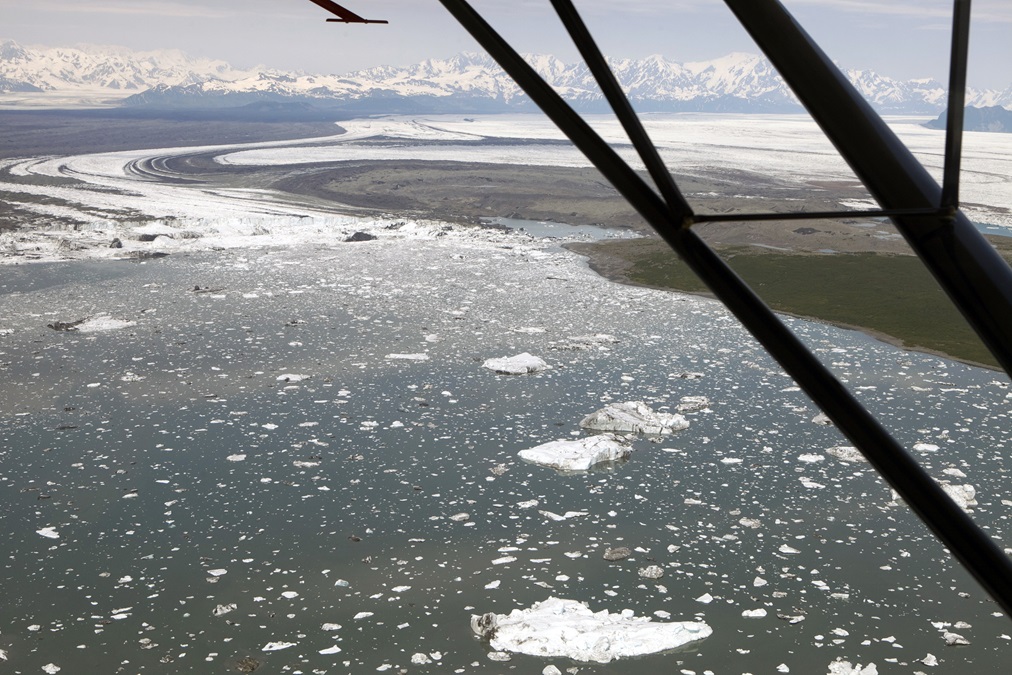
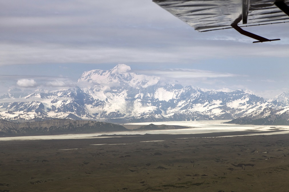
At Icy Bay, the Malaspina Glacier clings to Mount St. Elias, a jagged, imposing, cloud-shrouded hunk of rock that towers 18,008 feet into the heavens—roughly 10 times higher than the altitude at which we’re traveling. We pass serenely over the bay and its icebergs, some of them electric blue, others encrusted in dirt and silt. The uniformly cold water and ice make for smooth air above.
On the coastline near Wrangell-St. Elias National Park, the landscape goes lunar. It’s undulating, strewn with boulders, and dirty gray. Sinkholes create giant pockmarks that look like meteor strikes. We fly over it for many miles before I realize that the uneven surface below isn’t made of earth—it’s a sprawling ice field that is slowly clearing out incalculable quantities of rock and dirt as it relentlessly and forcefully grinds to the sea.
We pass the curiously named Disenchantment Bay where a pair of humpback whales cavort near the mouth, then climb and start to turn inland for the most direct route to Juneau, our ultimate destination on this day. We expect to overfly the Melbern Glacier and follow it to Glacier Bay, but strong headwinds radically reduce our groundspeed at the higher altitude. We drop back down along the coast and accept the more circuitous and picturesque route with a groundspeed that should still get us to Juneau with adequate fuel reserves. My Garmin GDL 39 ADS-B receiver shows light to moderate rain about 20 miles southwest of Juneau, light surface winds, and VFR weather throughout the region.
Mount Fairweather towers overhead at more than 15,000 feet as we make our way over Lituya Bay, site of a historic tsunami triggered in 1958 by a nearby earthquake. The 7.8-magnitude temblor caused a tremendous landslide that dumped an estimated 30 million cubic meters of rock and ice into the narrow inlet, and the resulting wave slammed into the coastal mountains with terrific force. The tsunami knocked down trees more than 1,700 feet above sea level—a height roughly equal to our current altitude.
“You can still see the line on the hillside where the wave crested,” Lawson says. “The trees are different above and below it.”
Hugging the coastline and the increasingly rocky beach, a gray cloud ceiling forms and begins to drop. The ceiling is about 3,500 feet at the foot of Mount Fairweather, and 2,500 feet at the opening to Cross Sound about 15 miles farther south. ADS-B weather shows a clear shot to the nearest airport at Gustavus, but the picture out the windshield isn’t so reassuring. Cross Sound, and Icy Strait beyond it, both are darkened by clouds, lower ceilings, and our GPS groundspeed shows the sudden onset of a powerful headwind.
We’ve gone too far to turn back to any other airport, and the coastal mountains and rocky, windswept shore offer no chance of a precautionary off-field landing without severely damaging or destroying the airplane. Rain starts to fall in big, splattering droplets, but visibility beneath the clouds is good, about 20 miles.
We press on at reduced power and the leanest possible mixture setting to extend range and endurance. The minutes tick by slowly as we cross the not-so-narrow-looking Sitakaday Narrows to Gustavus. There the rain lightens, the ceiling lifts, and the airport is clearly visible 15 miles away.
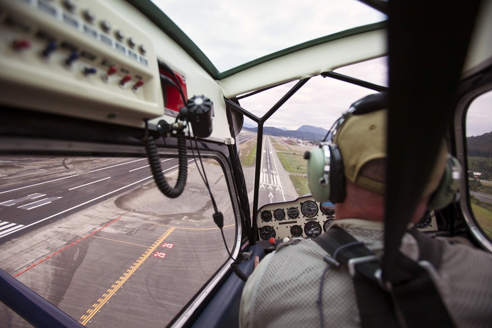
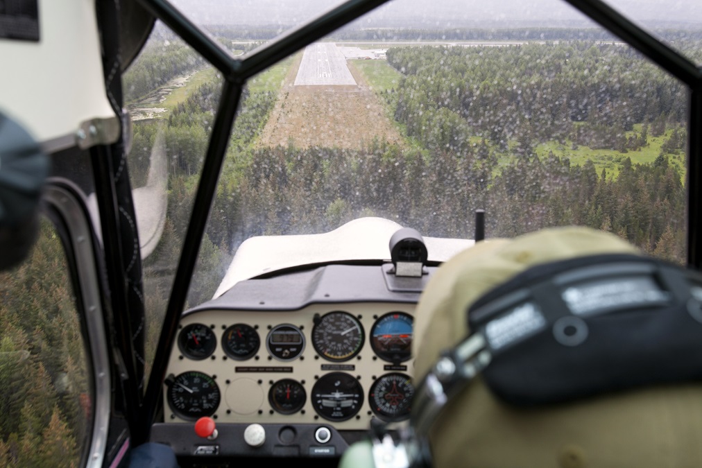
I can feel myself relax as we get within gliding distance of the sandy, low-lying peninsula where Gustavus (pronounced goo-STAY-vus) is situated, and I make a straight-in approach to Runway 2. We’ve been airborne for four hours: three of them awe-inspiring and delightful, and one of them nerve-wracking—for me, at least. Lawson seems nonplussed and says he never doubted a dry landing. Pilots in this region know that weather forecasts aren’t guaranteed, and actual conditions change dramatically without notice. It’s a lesson I won’t forget.
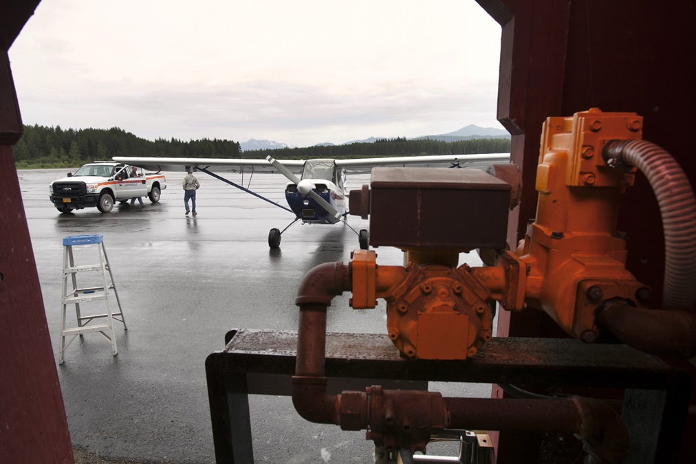
After landing, I taxi to the fuel pump and learn that it’s out of commission and likely to stay that way for a week. There’s an airport with avgas just 20 air miles away at Hoonah—but I’m not even tempted to fly there without more fuel in the tanks.
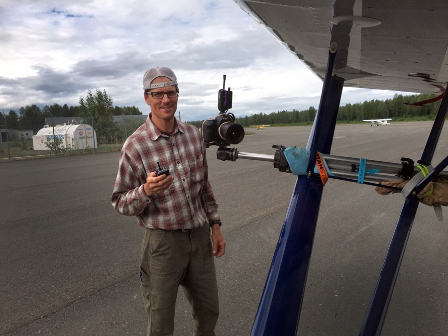
Lawson gets busy taking photos on the ramp, chatting with fellow Alaskans, and laughing. He seems totally unfazed by the fact that fuel is unavailable. He’s sure we’ll soon find a way out of our predicament, and it turns out he’s right.
A local pilot has 15 gallons stashed at a nearby hangar, and he’s willing to part with it for a cash payment. The avgas is expensive, but worth it.
We go on to Hoonah and top off the tanks, and then fly on to Juneau International Airport where Lawson, his photo assignment complete, catches an airliner home to Montana. With worsening weather along the coast, I turn east—across the mountains—and, for two days, follow the Alaska-Canada Highway the rest of the way to the lower 48.
Taking off from Juneau for a VFR flight across the Canadian border, I’m once again struck by the abrupt transition that takes place in just a few short minutes from bustling airport with airliners, corporate jets, and tourist-filled floatplanes and helicopters to vast, uninhabited, and harsh mountain expanses. Even at relatively slow Citabria speed, the changeover happens fast.
Lawson’s parting advice: “Dealing with unanticipated situations is just part of flying around here. You’ve got to be flexible. You’ve got to be resourceful. And you’ve got to make sure your sense of humor matches your sense of adventure.”
Email [email protected]
Photography by Cameron Lawson
