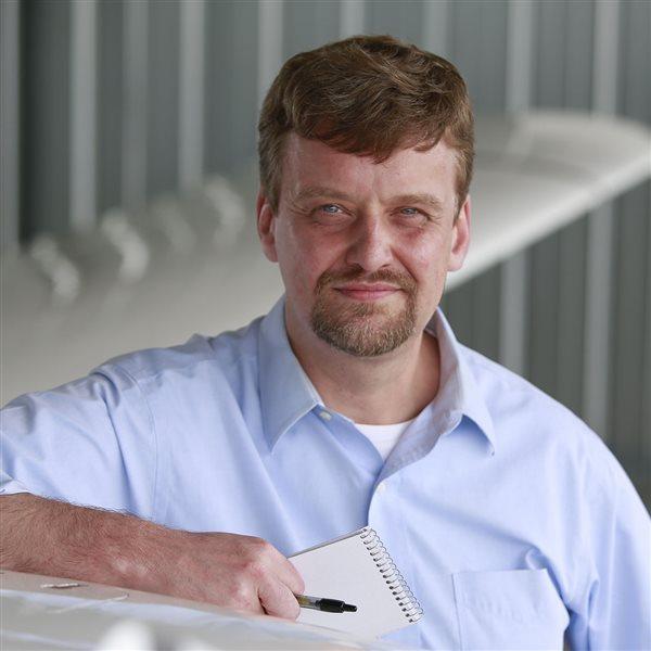
Ben Marcus, entrepreneur and pilot of both manned and unmanned aircraft, is working hard to make sure that the expansion of commercial drone operation likely to follow finalization of FAA rules does not arrive without technology in place to keep everyone safely separated.
“We’re building a very robust team,” Marcus said of his Santa Monica, California, company AirMap, which introduced an online map for drone pilots in 2015 that plots nearby airports. That was followed more recently by another electronic system that makes it easy for drone pilots to contact local airports and air traffic controllers.
Marcus said there is much more to come, fueled by the recent influx of $15 million in venture capital funding that will help him expand a team that already includes members with experience as pilots (and other aviation professionals), product and software development, and information security.
Marcus said safety is the fundamental mission, and the distinctions between drones and other aircraft, as well as the reasons for flying them, are far less important than the imperative to safely coexist.
“Any aircraft operating in the airspace is an object in the airspace and has potential to create a hazard just like any other object in the airspace,” Marcus said in a telephone interview. “All of these machines need to have a structure to operate in that promotes innovation while protecting safety.”

While regulators work to finalize Part 107, which will govern commercial operation of small drones (weighing less than 55 pounds) in the National Airspace System, Marcus and his team are working to further develop the tools they’ve already created, and some new ones.
AirMap is far from alone in this effort: The NASA Unmanned Aircraft System Traffic Management program is an ongoing, government coordinated effort to safely manage the integration of drones.
Marcus has been focusing his team on specific technologies with the same basic goal, including secure, digital communication tools that will allow drone pilots to communicate with other pilots and ATC.
“You could ask every Part 107 operator to have a two-way radio,” Marcus said, but with vast numbers of unmanned aircraft already flying, or on the horizon, traditional radio communications are “not scalable. We are building systems that we think will allow for safe, secure, reliable communications and airspace control. These are foundational elements of an airspace management system that will ultimately support beyond line of sight operations of unmanned aircraft.”
First, the focus is on near-term and medium-term airspace issues, Marcus said. That includes making drone pilots aware of where they are, what other aircraft can be expected to be around, and giving them an easy and efficient way of notifying authorities and aviators.
Marcus said the financing from General Catalyst Partners will facilitate acceleration of developing those tools, and “from a technology perspective, we’ll be ready for Part 107.”
Exactly what the FAA will require of pilots remains to be seen. His team is looking at adding to the list of dozens of airports participating in the digital notification system developed for drone pilots, and bring more airports into that loop. AirMap is also developing methods to notify management and users of small airports and heliports that are not regularly staffed, “working on solutions to make unmanned aircraft operations in those areas more safe as well.”
An airline transport pilot, flight instructor, and aircraft owner himself, Marcus said he takes the “safe” in “safe integration” very seriously.
“I want people to really recognize that we take our responsibility very seriously. We’ve been building a team that bridges the existing safe airspace team that we’ve all come to enjoy and appreciate,” Marcus said. “I think it’s important for people to recognize that AirMap is the bridge.”


