Flight Planning: Pick a number
Taking the randomness out of selecting a cross-country altitude
 This may be a gross oversimplification, but if you head to FlightAware and stalk the GA airplanes currently flying, a surprising number of VFR targets are around 3,000 feet. That’s just as true in flat Illinois as it is in the hills of west Texas. It’s true of Cessna 172s and 182s, and it’s true whether the flight is headed 10 miles or 100.
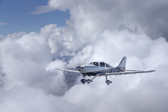
It’s not true of Cirrus pilots, however. While Cessna pilots tend to default to 3,000 feet—or in some cases much lower—of the more than 100 Cirrus SR22s recently tracked on FlightAware, few appeared to be VFR, and only a couple were cruising at 3,000 feet or less.
Even flying IFR many pilots tend to stick with an altitude they’re comfortable with. Most unpressurized flights are between 4,000 and 7,000 feet. The Cirrus SR22T, an airplane very capable in the flight levels, is rarely found in that environment. Apparently, the annoyance of oxygen outweighs the benefits of faster cruise speeds on less fuel above the weather. The same is true for some pressurized aircraft as well. Most Piper PA–46s are found in the mid-teens, despite the capability to go much higher.
Why do we select the altitudes we do? Is it habit? Fear of the unknown? Training? Comfort? Maybe it’s random. Picking an altitude can be as consequential as picking the route. So why don’t we give it more thought? Here are three factors to consider when filling in that Alt box on your next flight plan.
Direction
One theory as to why many pilots choose to fly at 3,000 feet is so they don’t have to remember altitude rules. Not that they are hard to remember. Yes, some detailed knowledge is sometimes necessary, but essentially east is odd and west is even. FAR 91.159 covers VFR cruising altitudes, and it says that when flying at more than 3,000 feet above the ground, a magnetic course of zero degrees through 179 degrees is odd thousands plus 500 feet, and everything else is even thousands plus 500 feet. Most of us assume that the IFR regulation on cruising altitudes says the same, except for the plus 500 feet. And that’s partially true. FAR 91.179 says that in controlled airspace, aircraft on an IFR flight plan shall fly the altitude ATC assigns them. This is how we all end up flying wonky altitudes in Florida. In uncontrolled airspace the same VFR rules apply, except for the plus 500 feet.
Picking an altitude can be as consequential as picking the route. So why don’t we give it more thought?
Don’t be afraid to mix it up as long as you follow these simple rules. Be bold and pick 5,500 feet when you’re flying VFR from Kansas to Indiana, or 6,500 feet when you’re flying from Ohio to Oklahoma. You’d be surprised how many pilots on FlightAware either don’t know or don’t care about this rule.
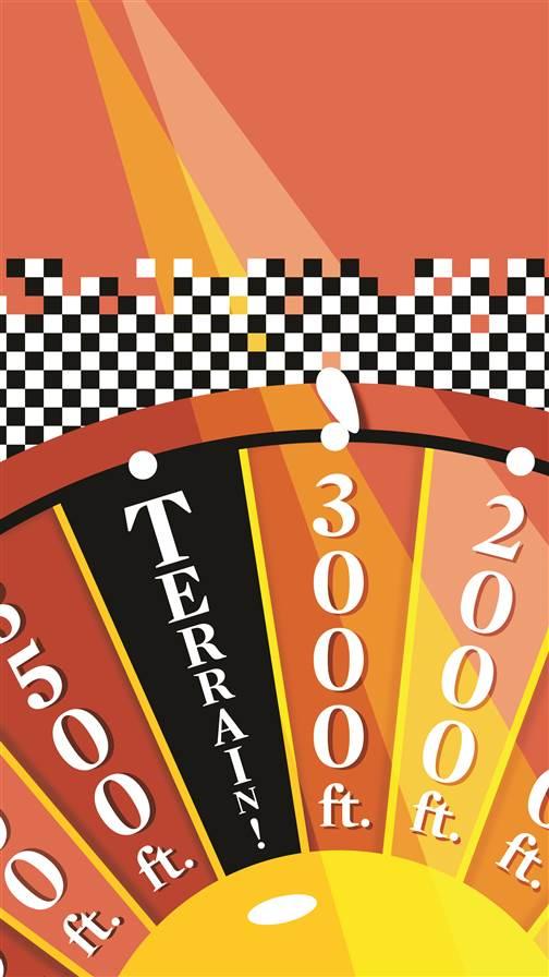
Terrain
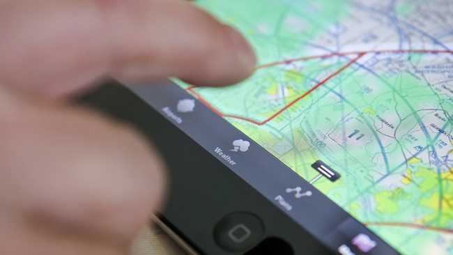
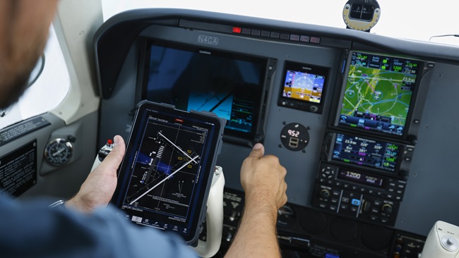
Clearly none of us is going out there with the intention of hitting something on the ground. But it happens. Poor planning can catch up to you, especially if it’s a new-to-you area. Apps such as ForeFlight and Garmin Pilot are excellent tools to help avoid controlled flight into terrain accidents that would otherwise start in the planning phase. Put in your anticipated route and an altitude, and the apps will alert you if the altitude doesn’t clear terrain or obstructions. They also feature profile views that can make it easier to visualize how these hazards may impact your plan.
WeatherFARs and terrain and obstructions are fixed. Weather is not. This wildcard can have a big impact on the selected altitude. It can be difficult to find the right balance of winds and cloud cover. Again, start the planning with an app or online flight planner that calculates forecast winds aloft. During the flight SiriusXM and ADS-B also offer winds aloft, making in-flight decision making much easier. Often flying higher will result in less fuel burn and a faster cruise speed, but not always. Apps make it easy to pick the sweet spot. Most have a chart that shows the flight time and fuel burn at various altitudes, meaning all you have to do is pick the best option.
Especially when flying VFR, the ceiling is a primary concern. Whether you’ve planned with an app or paper, write down the highest MEF somewhere on your plan. This is your emergency floor for anytime the ceiling starts to come down to meet you. A savvy strategy is to give yourself a bailout point. Let’s say you are cruising along at 4,500 feet and the highest MEF is 2,500 feet. You know you can descend to that altitude and remain clear of all obstructions. But if you’re at your floor and the ceiling appears headed your way, it’s time to divert.
Poor planning can catch up to you, especially if it’s a new-to-you area.If flying IFR you may choose to take a small wind penalty to climb higher and be above the cloud tops. Forecasting in this area is still somewhat limited, but the National Weather Service’s graphical forecasts for aviation (aviationweather.gov) are a good place to check during the preflight weather check. In flight both SiriusXM and ADS-B show cloud tops to help aid in finding the right altitude.
Changes
Finally, keep in mind that in most cases the altitude is your choice. That may not be true if you’re IFR on an arrival, but normally you can either request the altitude you want, or if VFR, simply pick it and fly it. It also means you can change your altitude at will. Most pilots fly one cruise altitude during a flight, but there are times when multiple altitudes may be a better strategy, such as avoiding weather, higher terrain, changes in wind speeds, emergency landing options, and more. In other words, be flexible.
Email [email protected]

Ian J. Twombly
Related Articles