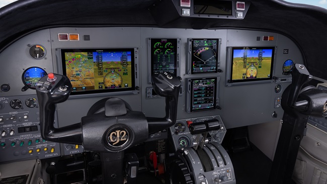
Jeppesen: An elegantly designed VFR app
Jeppesen rejects app arms race
Jeppesen’s Mobile FliteDeck VFR takes a refreshing and seemingly unique stance in the superheated app arms race. Instead of following rival techies who ceaselessly add more features and greater complexity to every version, Jeppesen boldly simplifies its software with an elegant app that presents only essential flight information in a clean, intelligent way.
At $49 a year, it also does so cheaply.
As its name says, this app is for VFR flying. It doesn’t contain approach procedures, SIDs and STARs, low and high en route charts, and other massive amounts of data that make for frequent and seemingly endless downloads. Jeppesen also ditches traditional VFR sectional and terminal charts in favor of its own versions which are much easier to read on tablet screens.
The Jeppesen app is available on iTunes, and the download is relatively brief and merciful for those of us accustomed to the avalanche of data associated with IFR apps. Activating it for the first time can take another 15 minutes or so.
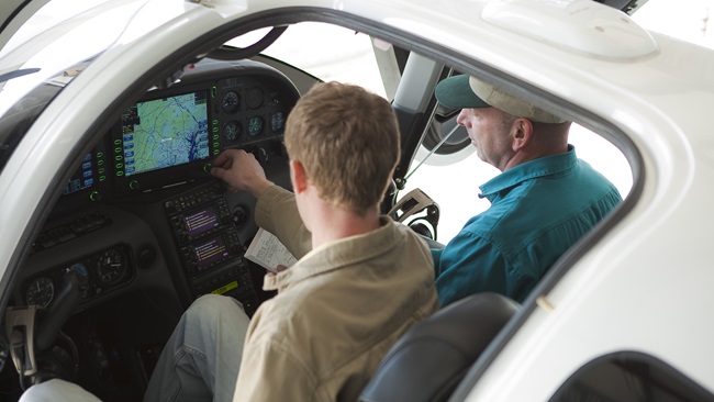
Once it’s running, the features are self-explanatory. There’s the home page with options to download more data or change settings, and the route symbol to plan flights.
To plan a flight, enter your starting point, destination, and any desired waypoints in between. The Jeppesen map appears right away with a blue course line that users can “rubber band” and stretch with a finger as they wish.
The Jeppesen map itself is a vast improvement over traditional VFR sectionals. Instead of the cluttered blue-green blob that VFR sectionals become on iPad screens, the Jeppesen map is sparse and clear—and it emphasizes roads, towers, and rivers that pilots are likely to actually see from the air. The Jeppesen maps were developed several years ago for VFR pilots using GPS as a primary navigation source, but the maps never really caught on in paper form. Today, however, they are ideal for our digital displays.
The best feature of the Jeppesen maps is that pinching and zooming is seamless, and moving in provides ever greater levels of detail—just as Google Maps do on computer screens. Jeppesen designers give you an overview of your route first, and important considerations for VFR pilots, such as Class B and Class C airspace, show up in red. Zoom in on those areas and the airspace dimensions appear, along with relevant navigation and communication frequencies.
Checking weather and notams through the Jeppesen app is a bit cumbersome. Current METARs for your departure airport and destination are available in text form along with those of the airports on your route of flight, but they’re not presented graphically. Also, temporary flight restrictions are given in impenetrable, all-cap government-speak, and I defy anyone to read the Washington, D.C., “temporary” flight restriction of December 1, 2010, for example—and make any sense of it. A red circle on the map showing current TFRs would be a big improvement.
Once you’re in the airplane and ready to fly, simply touch the “Go Flying” tab and a window shows up to display your distance, bearing, time en route, and estimated time of arrival. Pilots also can select “track up” or “north up” for the map presentation, and a Nearest Airports option shows up so that pilots can redirect themselves to the closest facility if necessary.
I used the app as a primary navigation source during a recent 10-hour delivery flight in a Piper Cub with no electrical system. It guided me through the maze of restricted airspace, military operations areas, and wildlife areas of coastal Georgia and north and central Florida; using the app was a pleasure, not a chore.
In sum, Jeppesen’s Mobile FliteDeck VFR is a smart, useful, thoughtfully designed app that provides pilots with an excellent value. Since it doesn’t rely on government charts, it’s also unlikely to be affected by threatened price increases for digital data. The app could benefit from graphical TFRs—and ADS-B weather and traffic will make great additions, too. (I assume the Jeppesen folks in Denver are already working on this.)
Jeppesen deserves credit for charting its own course out of the swamp of needlessly complex and overly burdensome EFB apps. Pilots shouldn’t be subjected a new episode of Computer Geeks Gone Wild with each new app. Jeppesen has done the hard work of paring its VFR app down to essential elements—and pilots who use it will appreciate the company’s focus and self-discipline.