Anyone who has arrived in front of a downtown office building when the GPS was supposed to deliver them to a mountain ski resort knows that the best navigation system on the planet can be defeated by operator error.
That was why instrument pilots learn to identify navaids by listening to the Morse code identifier, or better, the voice, to confirm that you tuned in the Westminster, Md., Vortac (117.9 MHz), not the Millinocket, Maine, Vortac (117.9 MHz). Failure to identify a navaid could cost you a checkride. And you realized that the local examiners knew where the maps hid traps and overlaps.
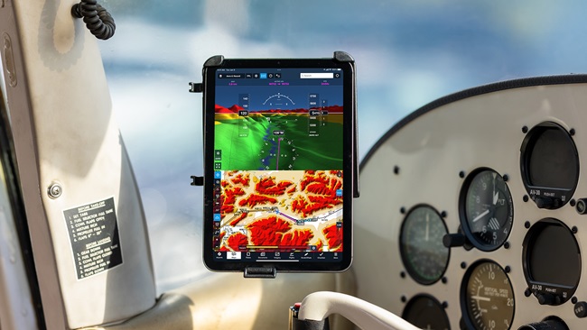
Thankfully, new nav systems picture course lines, displaying bearings, distance, and time to waypoints.
Those detailed presentations, combined with more stable indications, make what you see under the glass almost impossible to misread.
Disregard the previous paragraph. That idea comes from an old edition of the Instrument Flying Handbook that happened to be lying around, and satellites in orbit had nothing to do with it.
Here’s the raw dope, straight from the 1980 book: “Recent years have seen the development of a new type of turn indicator referred to as a ‘Turn Coordinator’ or ‘Pictorial Turn Indicator.’
Come on, the turn coordinator? Gosh, after the magnetic compass, arguably the most primitive instrument in the panel.
As you wish. Still, the discussion of this whiz-bang new technology goes on to explain the many advantages over archaic turn-and-slip indicators. But even this modern miracle came with a user caution: “It should be clearly understood that the miniature aircraft of the turn coordinator displays only rate of roll and rate of turn. It does not directly display the bank angle of the aircraft.”
Examiners knew that too. Pilots who didn’t might find their next flights scrubbed.
Now that the air traffic system is moving out to the solar system, basic user cautions still ride along. When an air carrier flight was cleared to MAARS intersection, a crewmember sent the flight to MARRS instead. “Roger,” said the obedient GPS, turning the aircraft 120 degrees off course, and prompting a WAYG inquiry (“Where are you going?”) from ATC.
The flight strayed for only “about 10 seconds,” said a report to the Aviation Safety Reporting System. But at 230 knots, it was clear that the track did not spell a flight to MAARS.

Dan Namowitz
Related Articles